Galterud
Galterud | |
|---|---|
Village | |
  Galterud 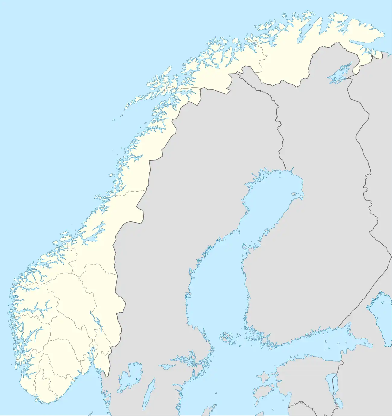 Galterud | |
| Coordinates: 60°10′59″N 11°53′10″E / 60.18312°N 11.88611°E | |
| Country | Norway |
| Region | Eastern Norway |
| County | Innlandet |
| District | Odalen |
| Municipality | Sør-Odal Municipality |
| Elevation | 168 m (551 ft) |
| Time zone | UTC+01:00 (CET) |
| • Summer (DST) | UTC+02:00 (CEST) |
| Post Code | 2223 Galterud |
Galterud[2] is a small village in Sør-Odal Municipality in Innlandet county, Norway. The village is located on the south side of the river Glomma, about 8 kilometres (5.0 mi) west of the town of Kongsvinger and about 6 kilometres (3.7 mi) southeast of the village of Sander.
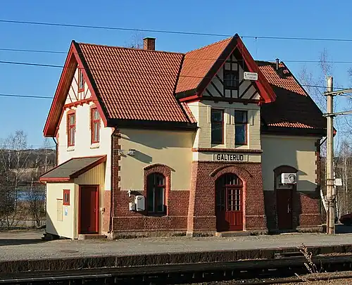
The Kongsvingerbanen railway runs through the village, stopping at Galterud Station.
Arons Hule (lit. 'Arons Cave') is a tourist attraction located south of Galterud.[3]
References
- ^ "Galterud, Sør-Odal". yr.no. Retrieved 15 June 2025.
- ^ "Informasjon om stadnamn". Norgeskart (in Norwegian). Kartverket. Retrieved 29 June 2025.
- ^ ""Arons Hule"".